Landscape Itinerary 7
Our neighbors:
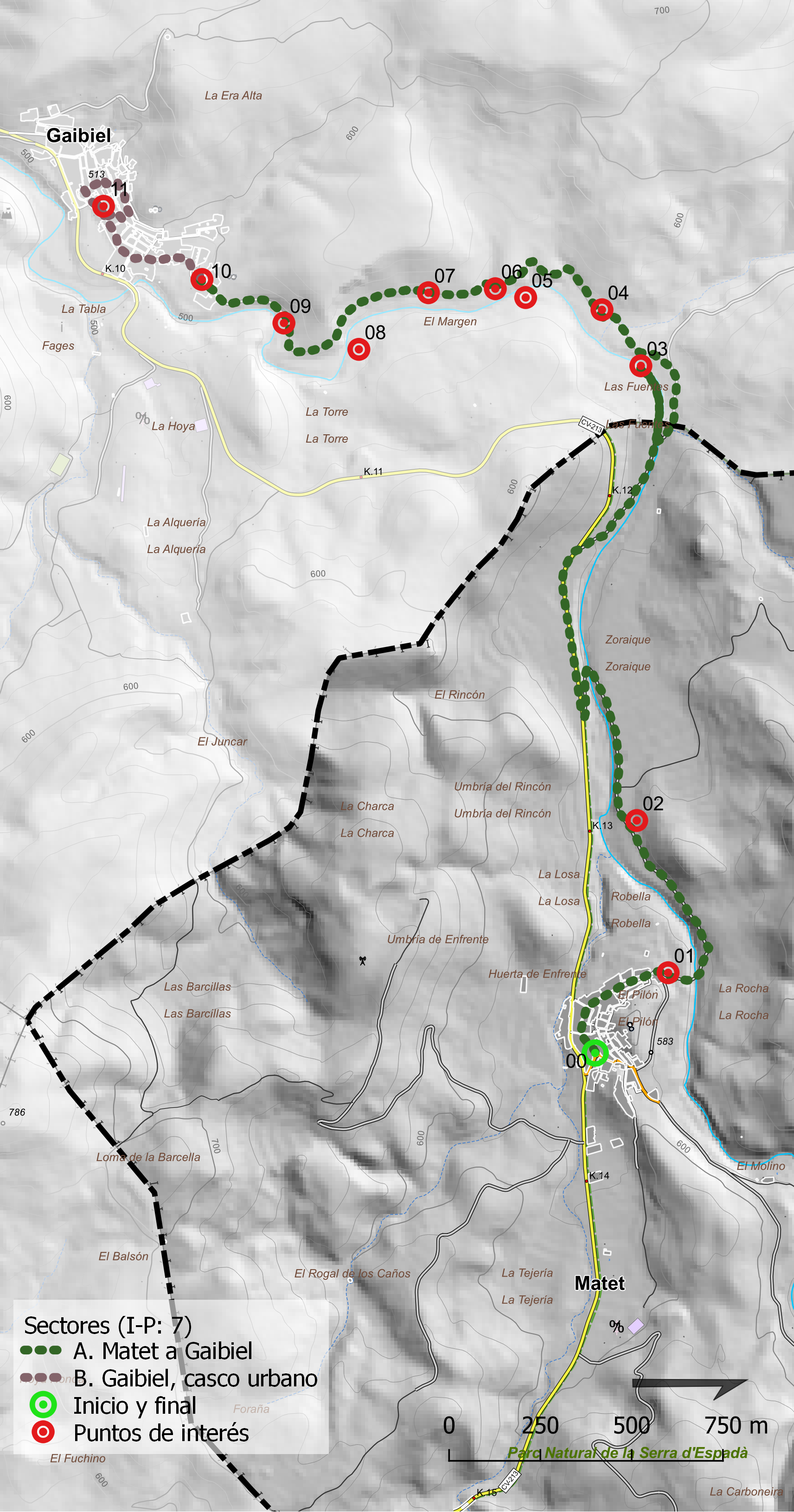
from Matet to Gaibiel
Approximate time
4-5 h.
Length
5.55 km.
Type of route
Linear
Accumulated ascending slope
363 m.
Accumulated descending slope
-225 m.
Average ascending slope
6,90%
Average descending slope
6,00%
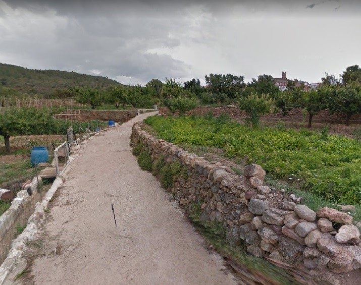
However, we can easily walk from Matet to Gaibiel following the network of rural roads that connect the different places in the countryside of both municipalities. By doing so, we will discover a wide variety of landscapes that appear on both sides of the roads.
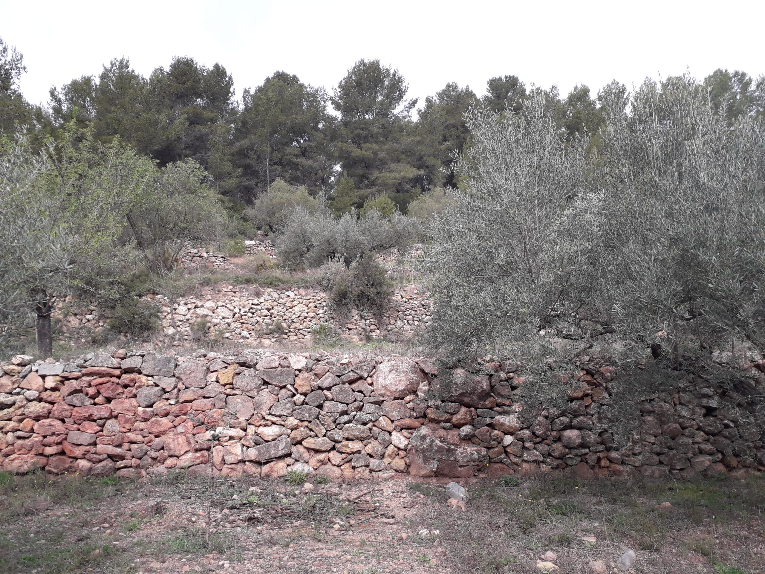
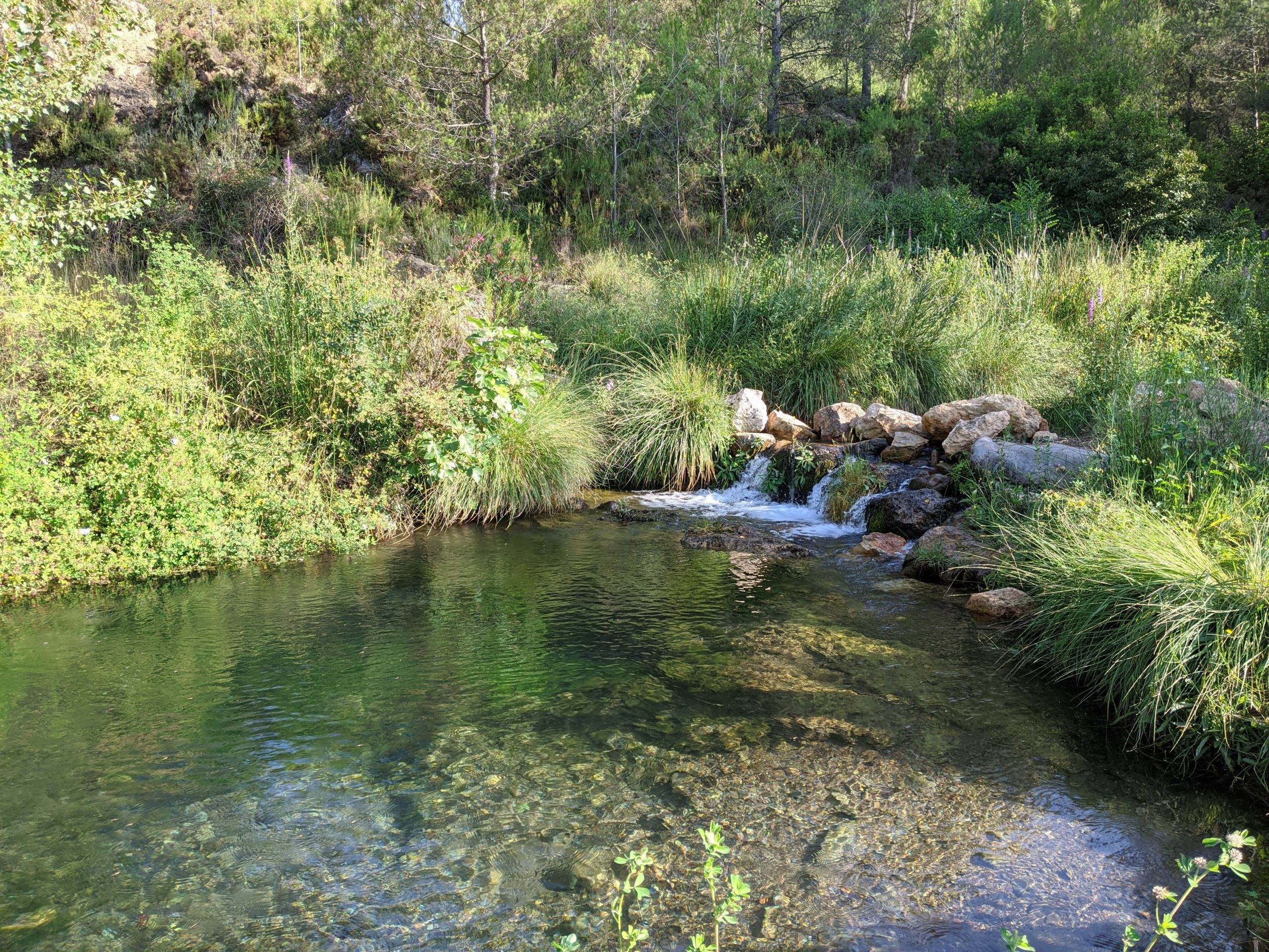
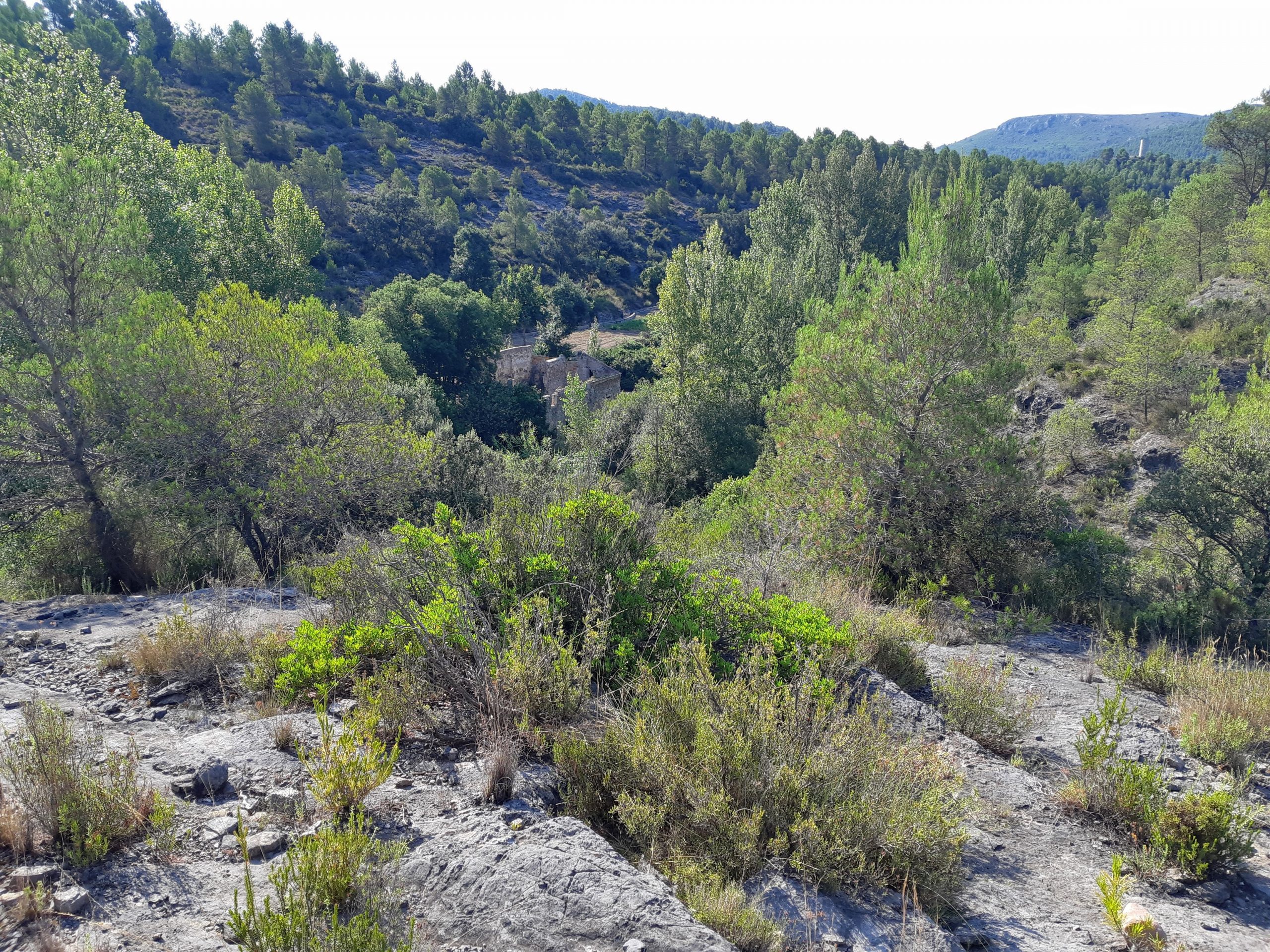
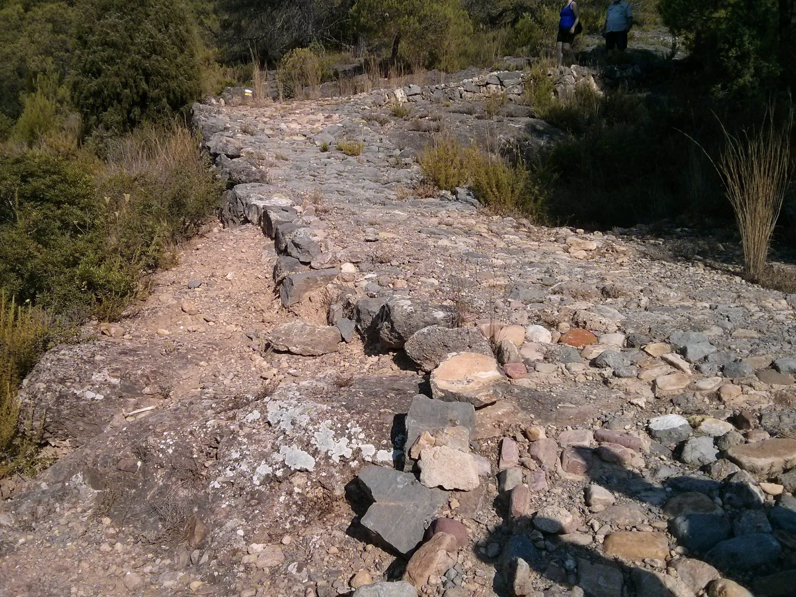
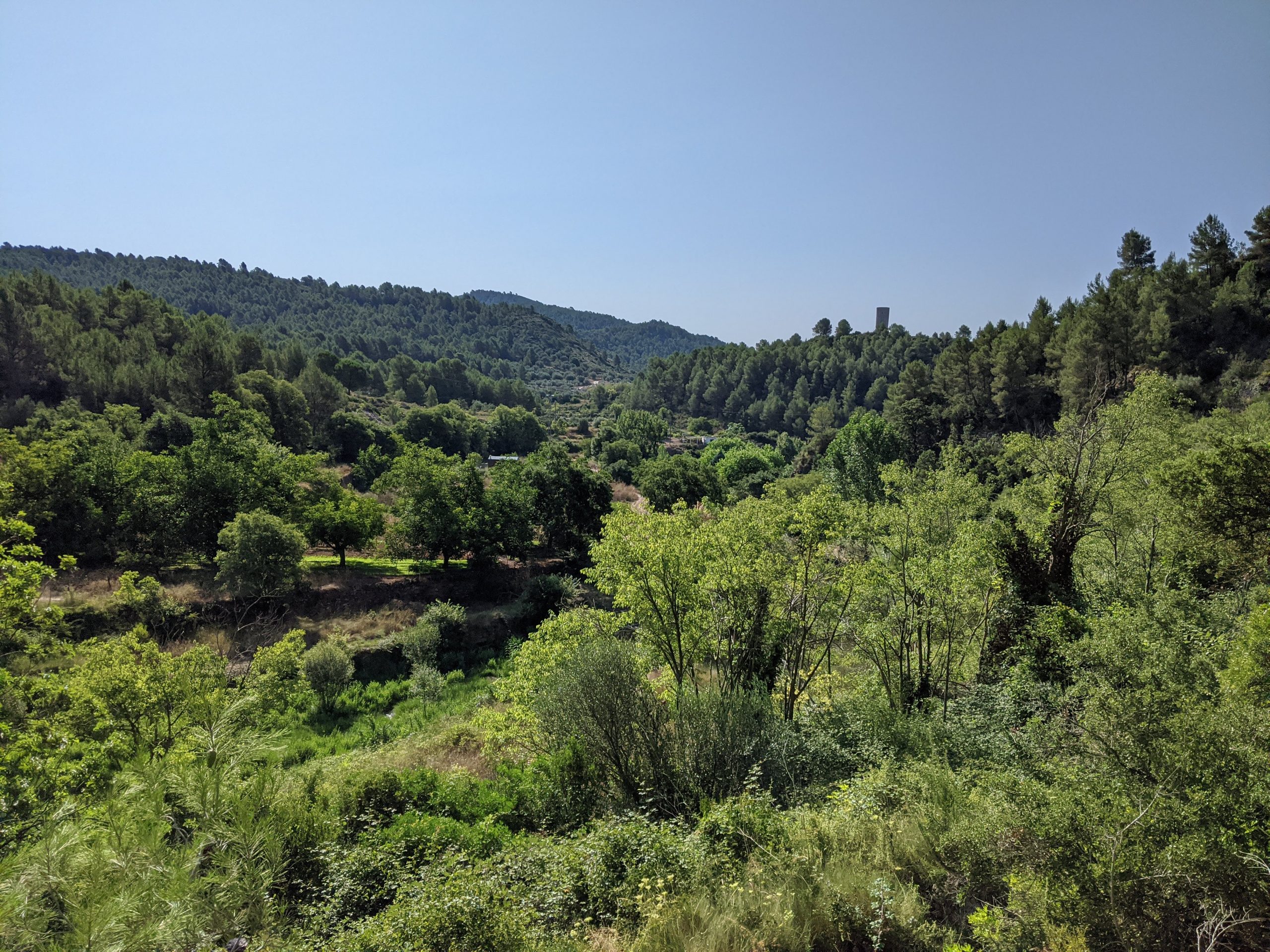
In this way, we will see the traditional orchards located on both hillsides of the Barranco del Perrudo, the poplar groves in the Zoraique area, and the water inlets in very small dams where water is held to irrigate part of the orchards that we can find in Gaibiel. We will also contemplate the remains of flour mills, old roads still partially paved with stone, small farming huts, livestock shelters in ruins and, of course, the town of Gaibiel with its medieval urban layout and the high location of its castle
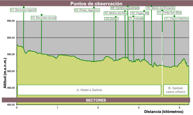
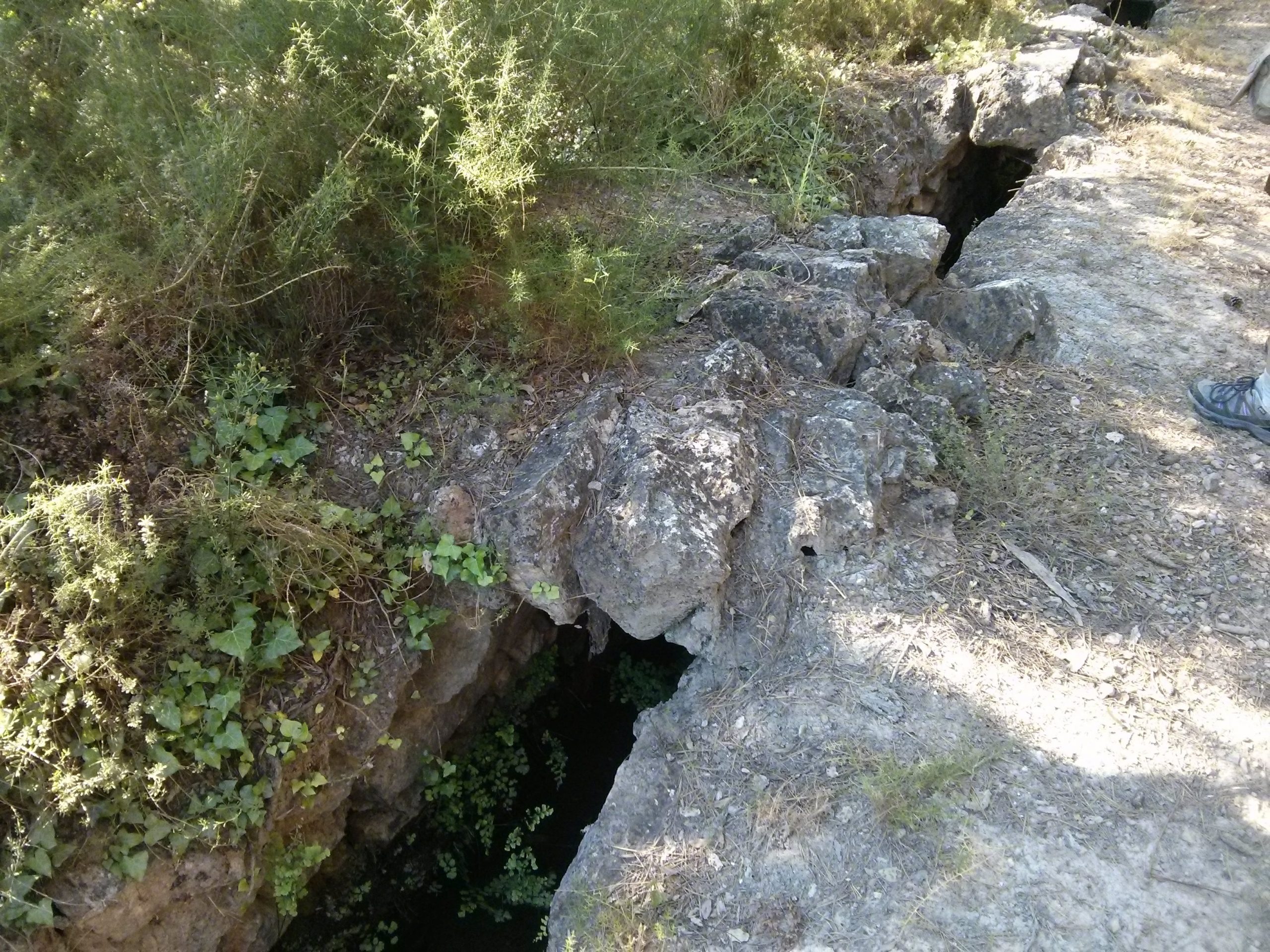
09 Middle mill and irrigation channel Col “Blanco”

