Landscape itinerary 1
From place to place
on historical roads
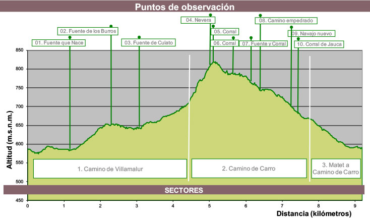
Approximate time
4-5 h.
Length
9.60 km.
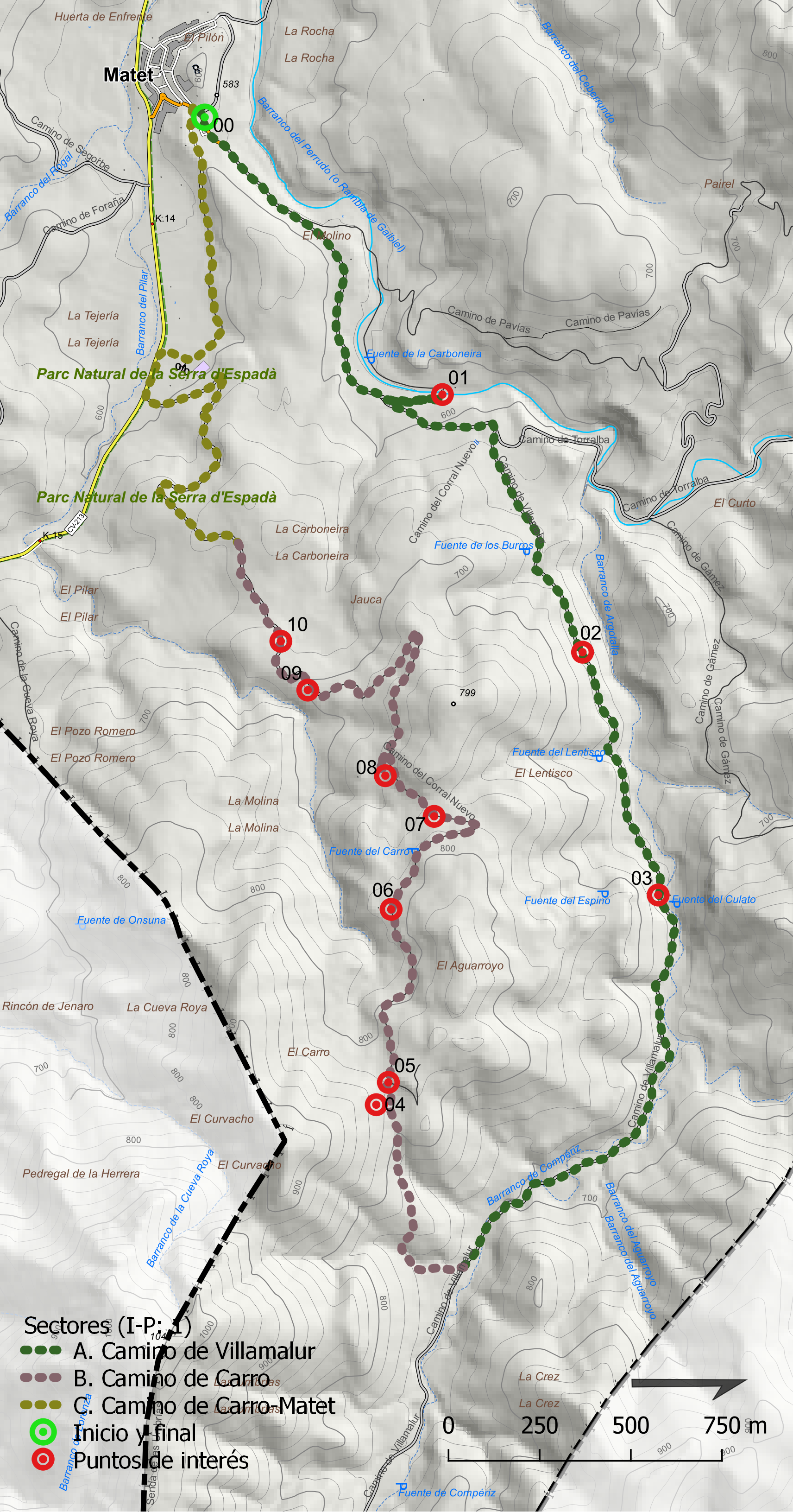
Type of route
Circular
Accumulated elevation gain
359 m.
Average ascending slope
6,20%
Average descending slope
7,00%
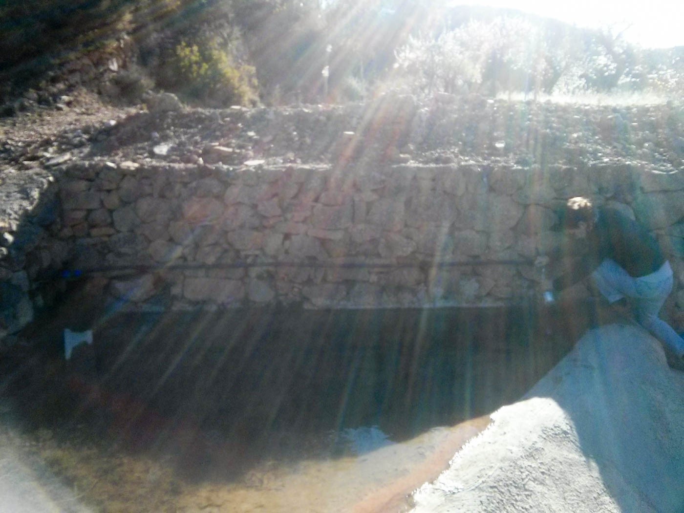
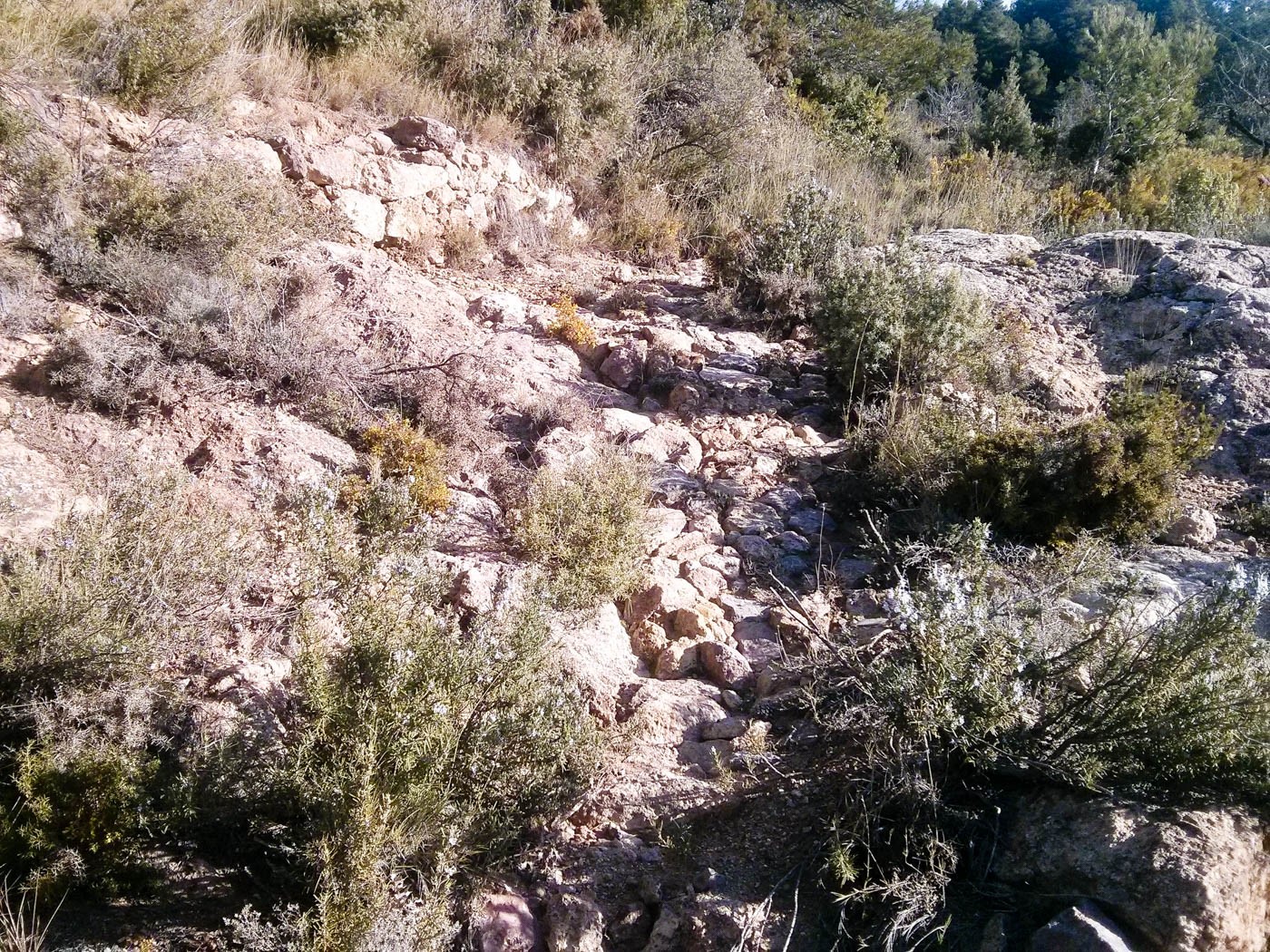
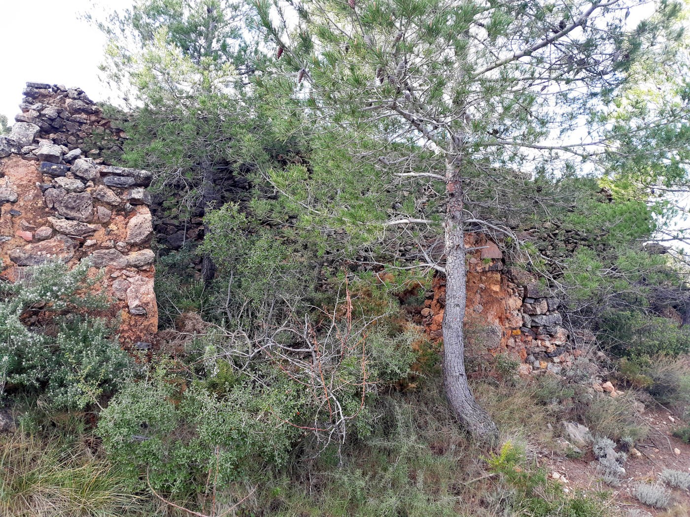
In the municipal area of Matet there are still recognizable roads and paths that were built in time immemorial and that led to all places, near or far. Some brought the population closer to the usual places where daily tasks were carried out, these being the cultivation of the fields, the extraction of firewood and coals, the manufacture of lime or hunting.
The experience proposed with this itinerary is based on the reconstruction of the ancient roads, from more than a hundred years ago, to relate them to the landscapes that existed at that time and the names that those places had.
Along its route, the constructive characteristics of the roads, their distribution in the territory, their relationship with other road systems that allowed an extensive and greater communication network that connected with other populations and places will be put in context, also analyzing the survival of some of them.
