Landscape Itinerary 8
Our neighbors:
from Matet to Algimia de Almonacid
Approximate time
5-6 h.
Length
11.65 km.
Type of route
Circular
Accumulated slope
447 m.
Average ascending slope
7,60%
Average descending slope
6,60%
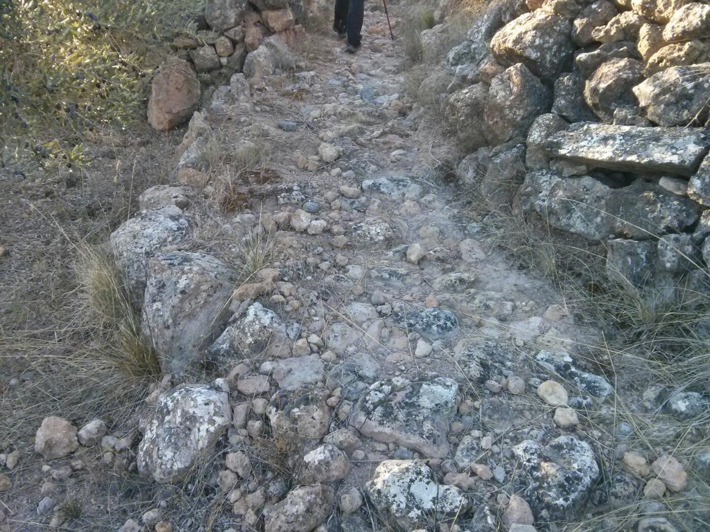
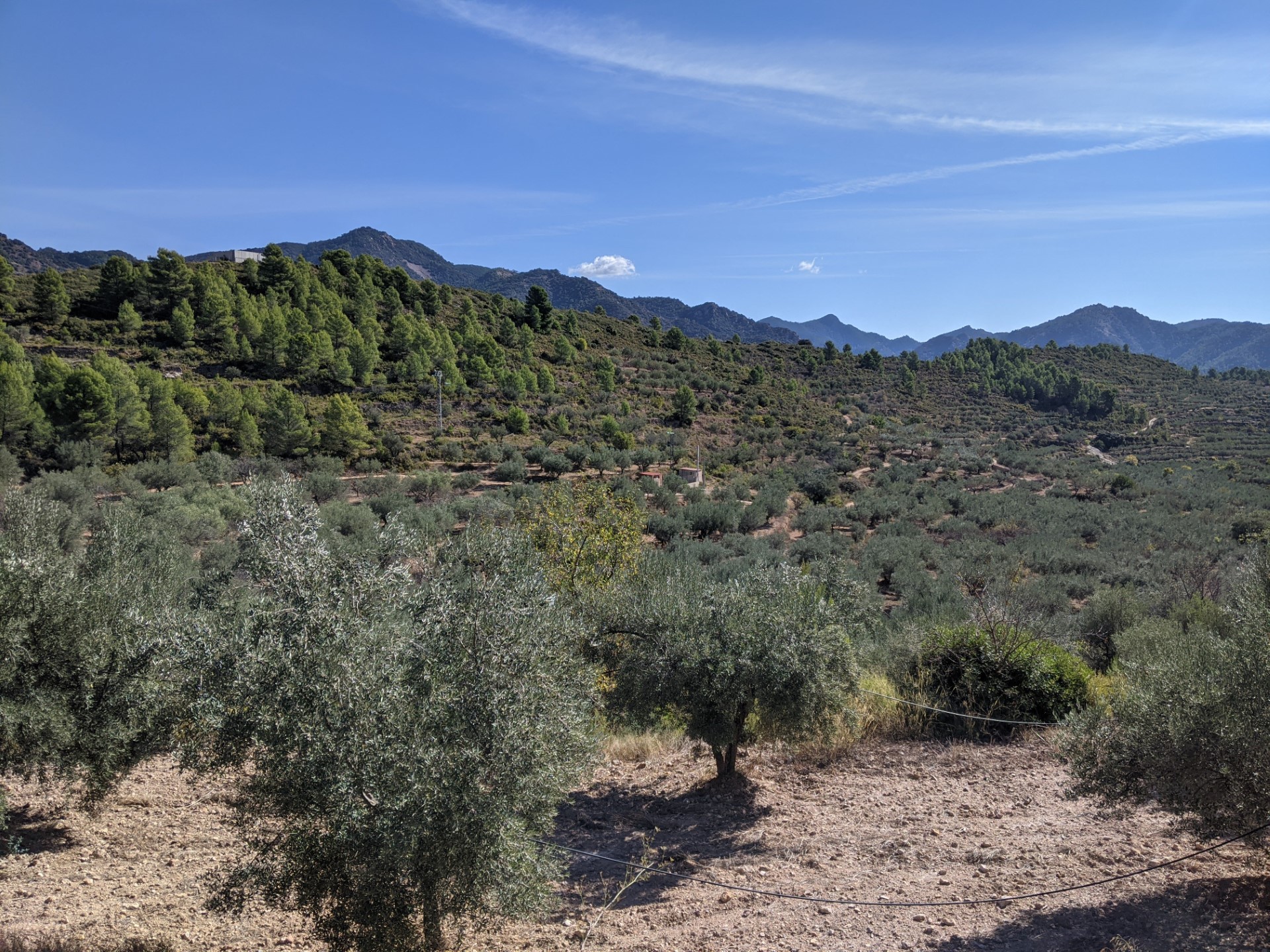
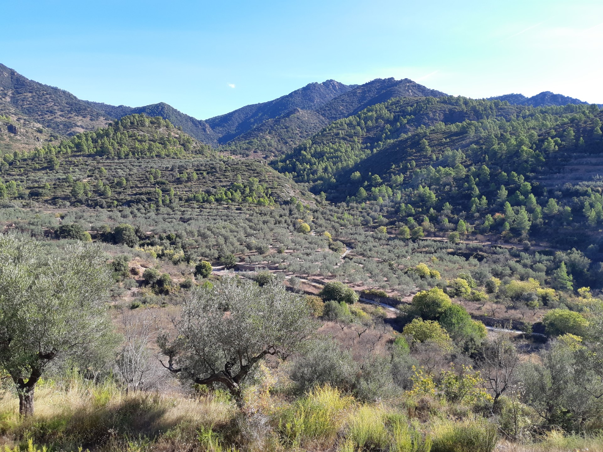
Matet is separated from Algimia de Almonacid by a set of hills and ravines that seem to separate them more than they really are. If we move away from the road (CV-213) that joins both towns and go from one to the other by rural roads and paths we will discover a varied and pleasant set of landscapes, typical of this area of the Sierra de Espadán.
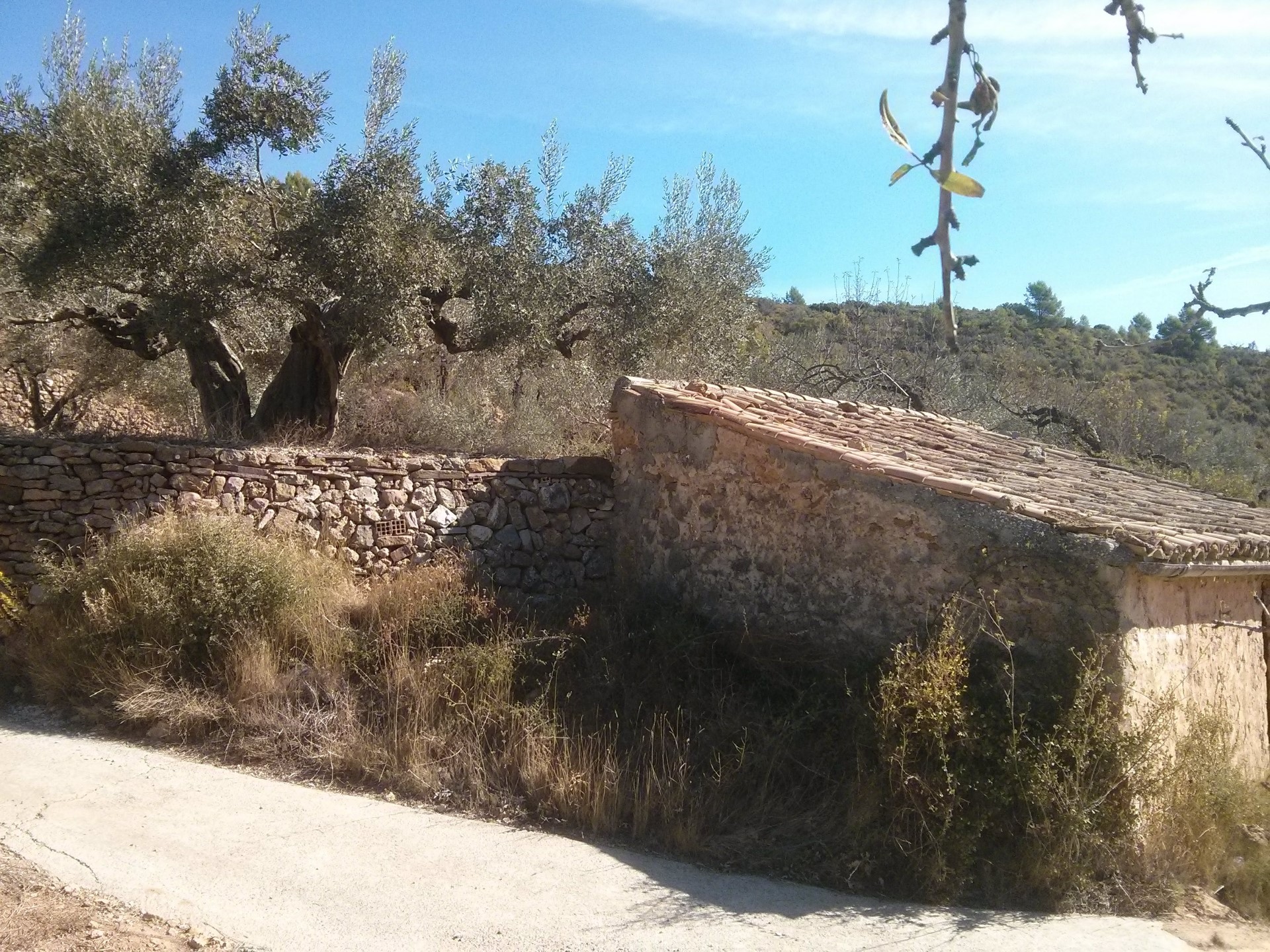
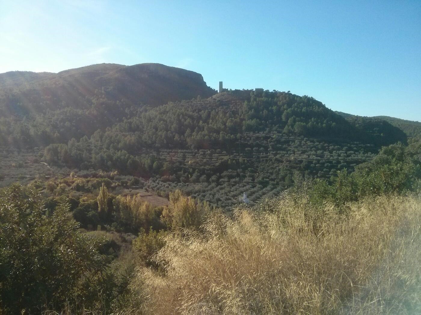
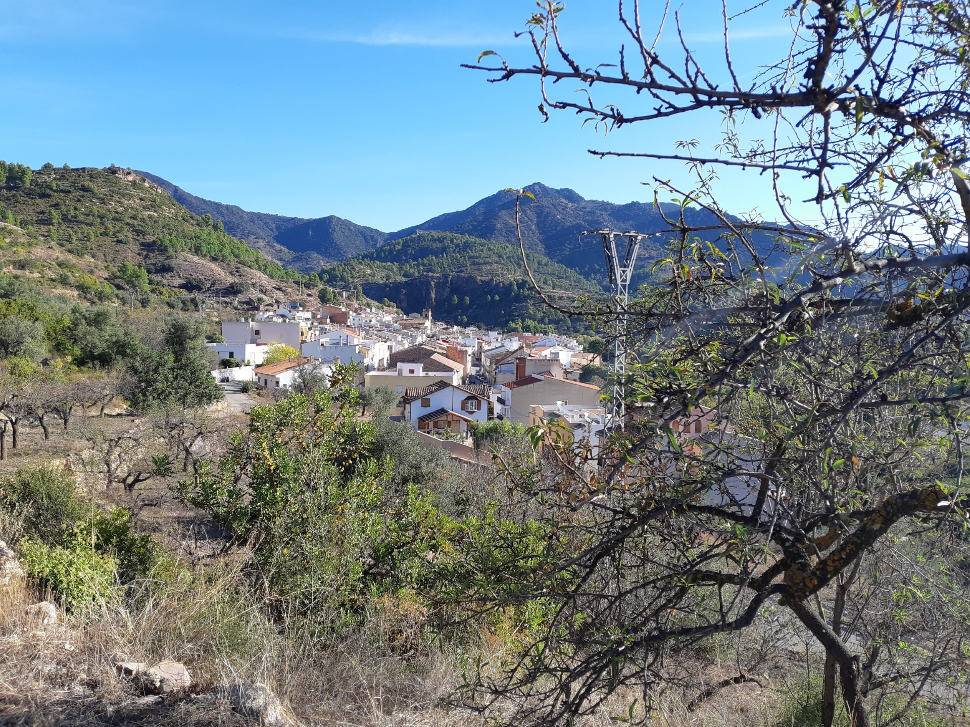
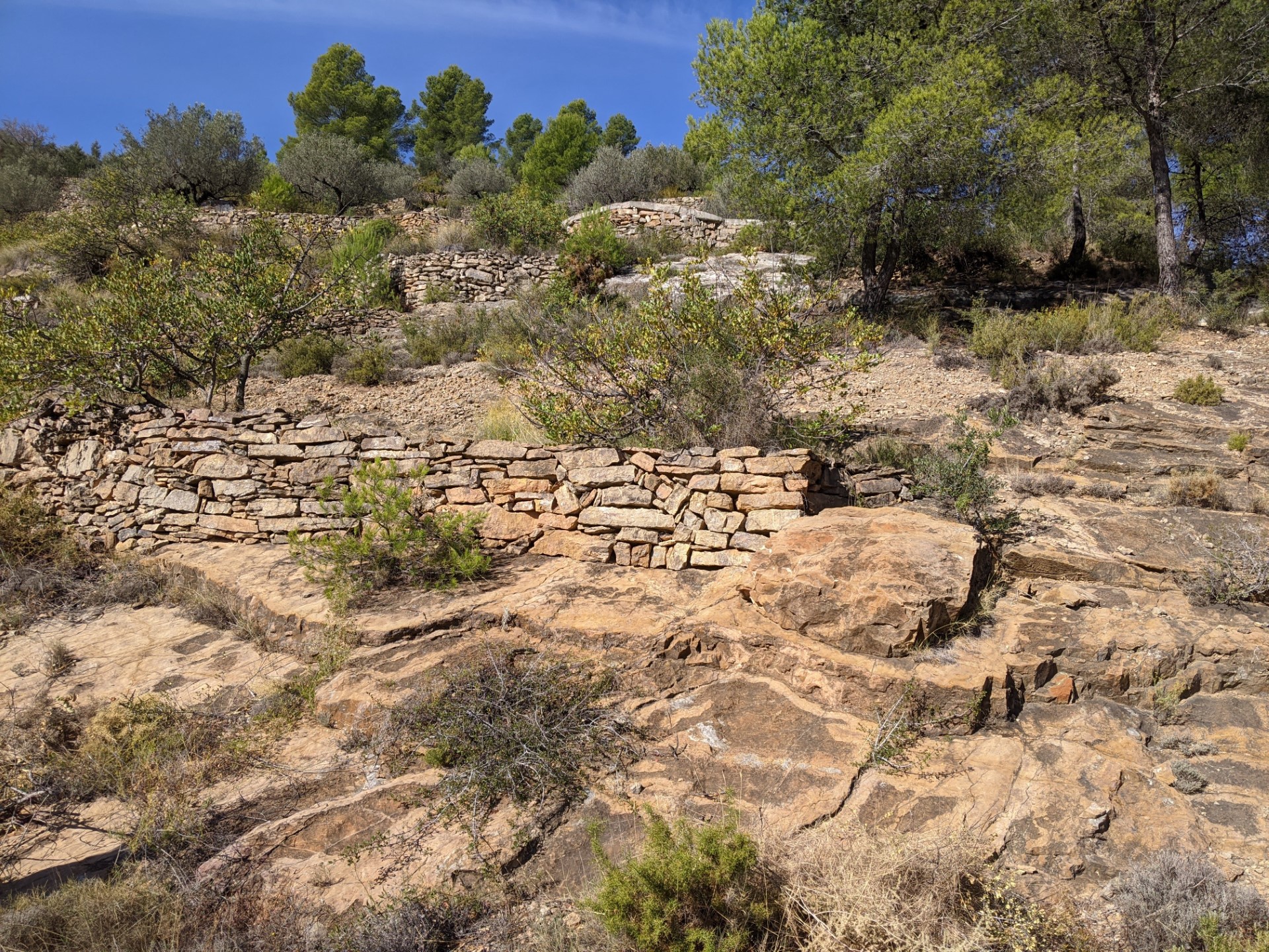
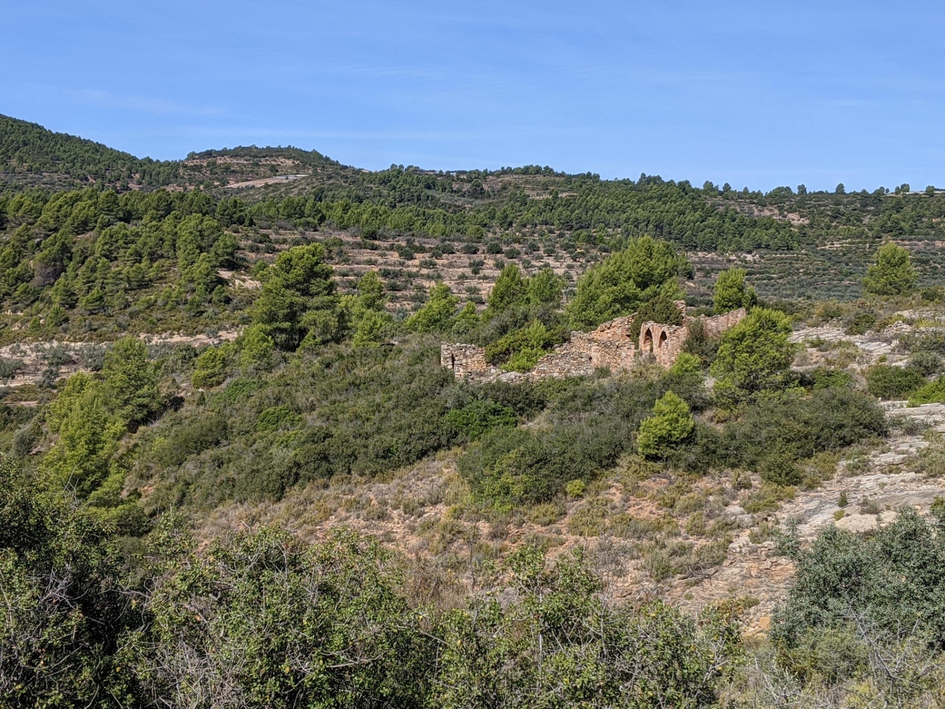
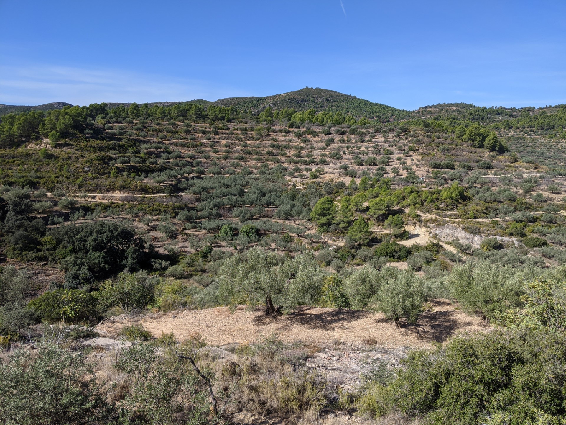
The two population centers with their own character and architectural and urban singularities, the wide panoramic views from one side and the other as we rise, from which we can see castles and defensive towers on the horizon, the traditional orchards around the two villages, the occasional forest of pines and oaks and the magnificent landscape of the terraced slopes with dry stone walls for the cultivation of olive and almond trees.
Without doubt, the round trip to neighbouring Algimia de Almonacid brings us closer to a population that was historically, and still remains, linked with Matet. An example of this lies in those landscapes shared by both municipalities.


