Landscape Itinerary 3
Defensive and Observation systems in Matet
Approximate time
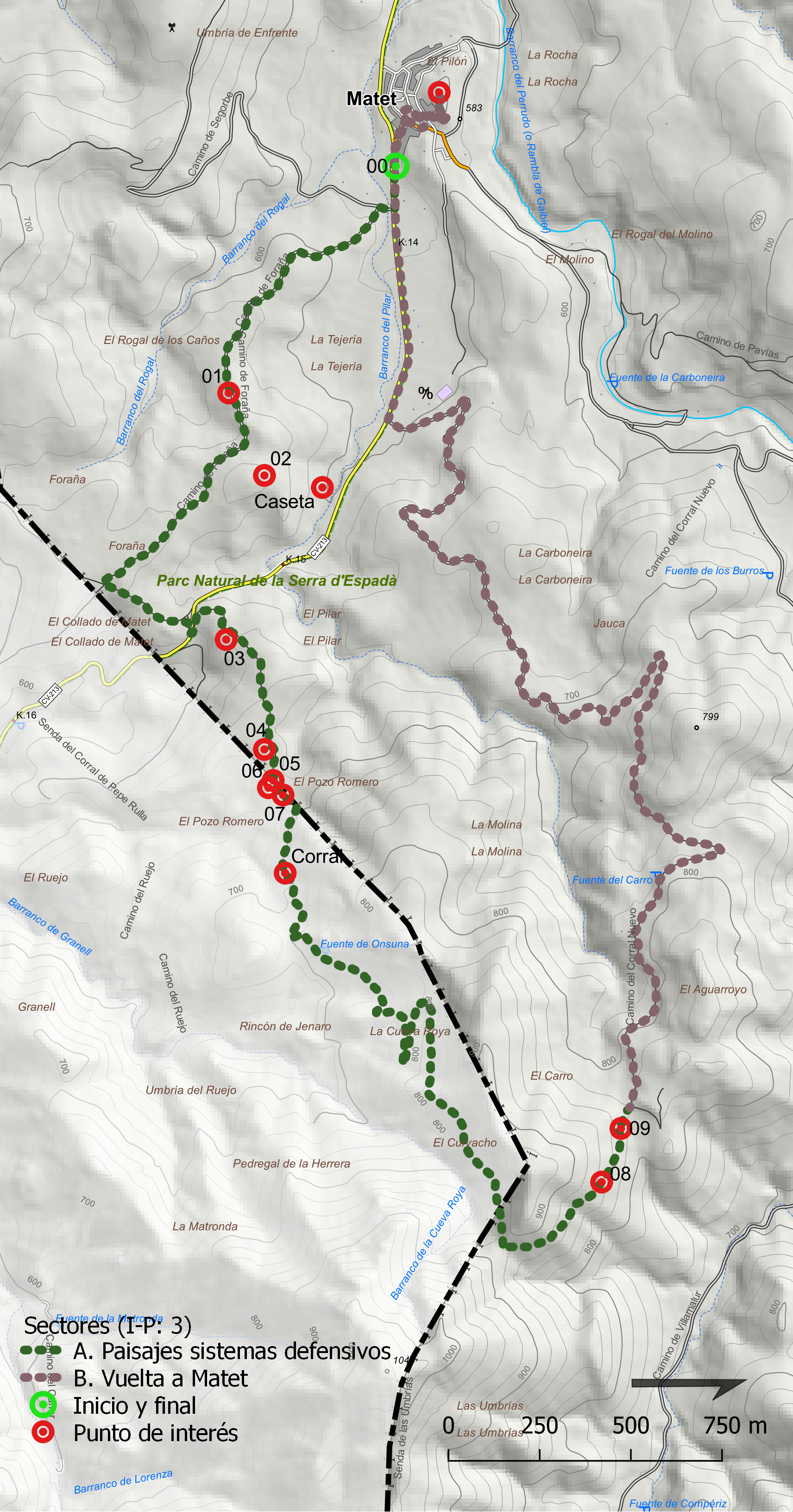
5 h.
Length
10.30 km.
Type of route
Circular
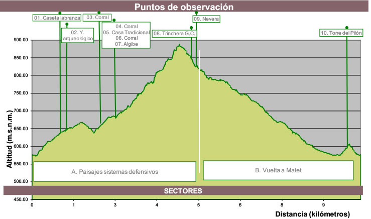
Accumulated ascending slope
400 m.
Average ascending slope
7,30%
Average descending slope
8,30%
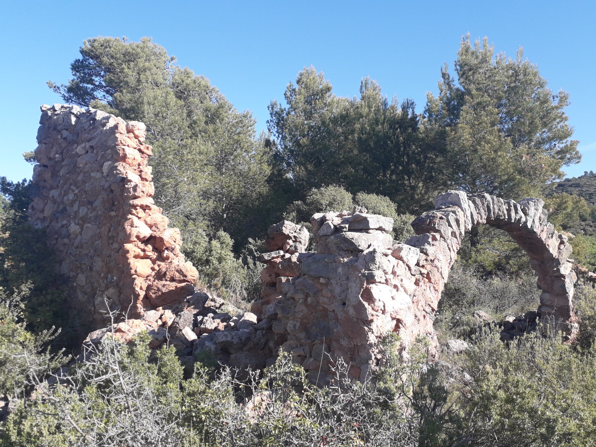
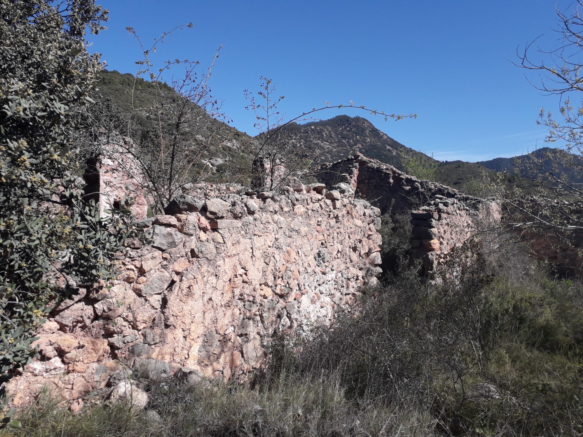
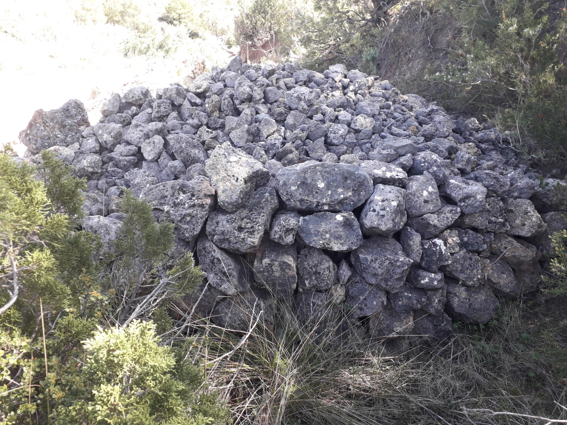
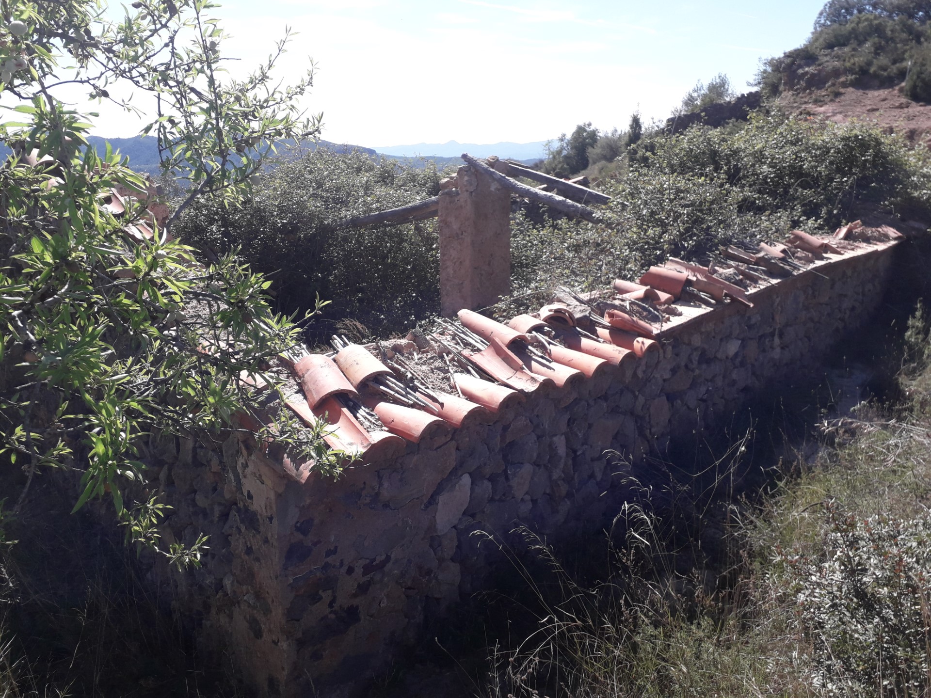
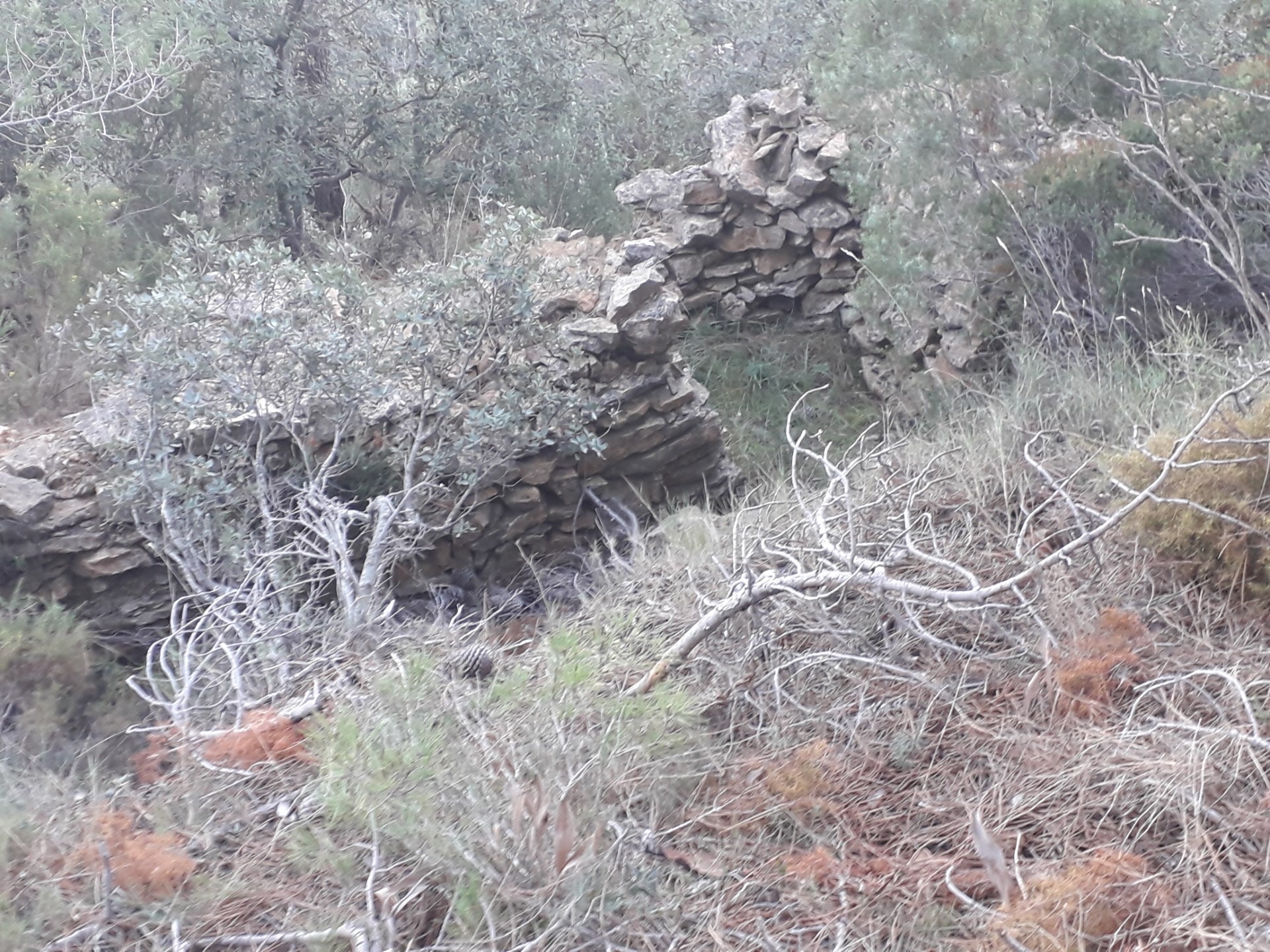
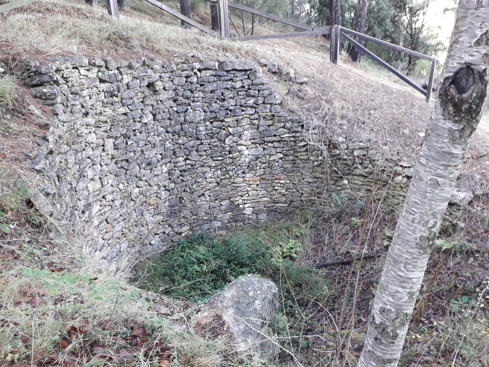
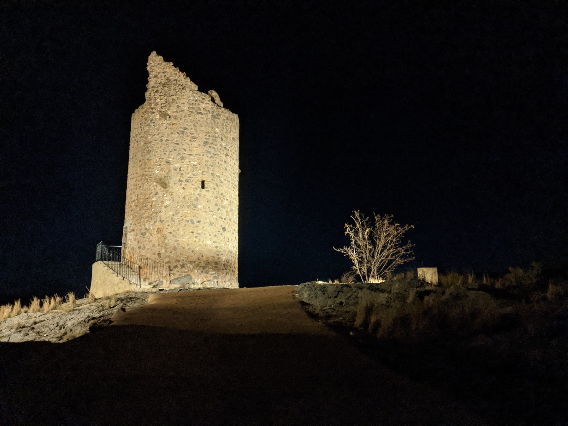
During successive times, and once Matet had become a population centre of some importance, defensive structures were built in the town and its surroundings, which allowed for observations and refuges of its inhabitants to be made against potential attackers. The most relevant vestiges that remain in the territory are castles and watchtowers,
In successive periods, once Matet was established as a population center of certain importance, defensive structures were built in the town and its surroundings that allowed the surveillance and shelter of its inhabitants from potential attackers. The most relevant vestiges that still remain in the territory are the castles and towers.
which date back to the Muslim era (that belong to the Almonecir monastery that housed
Muslim warrior monks) and the XYZ defensive line of the Spanish Civil War.
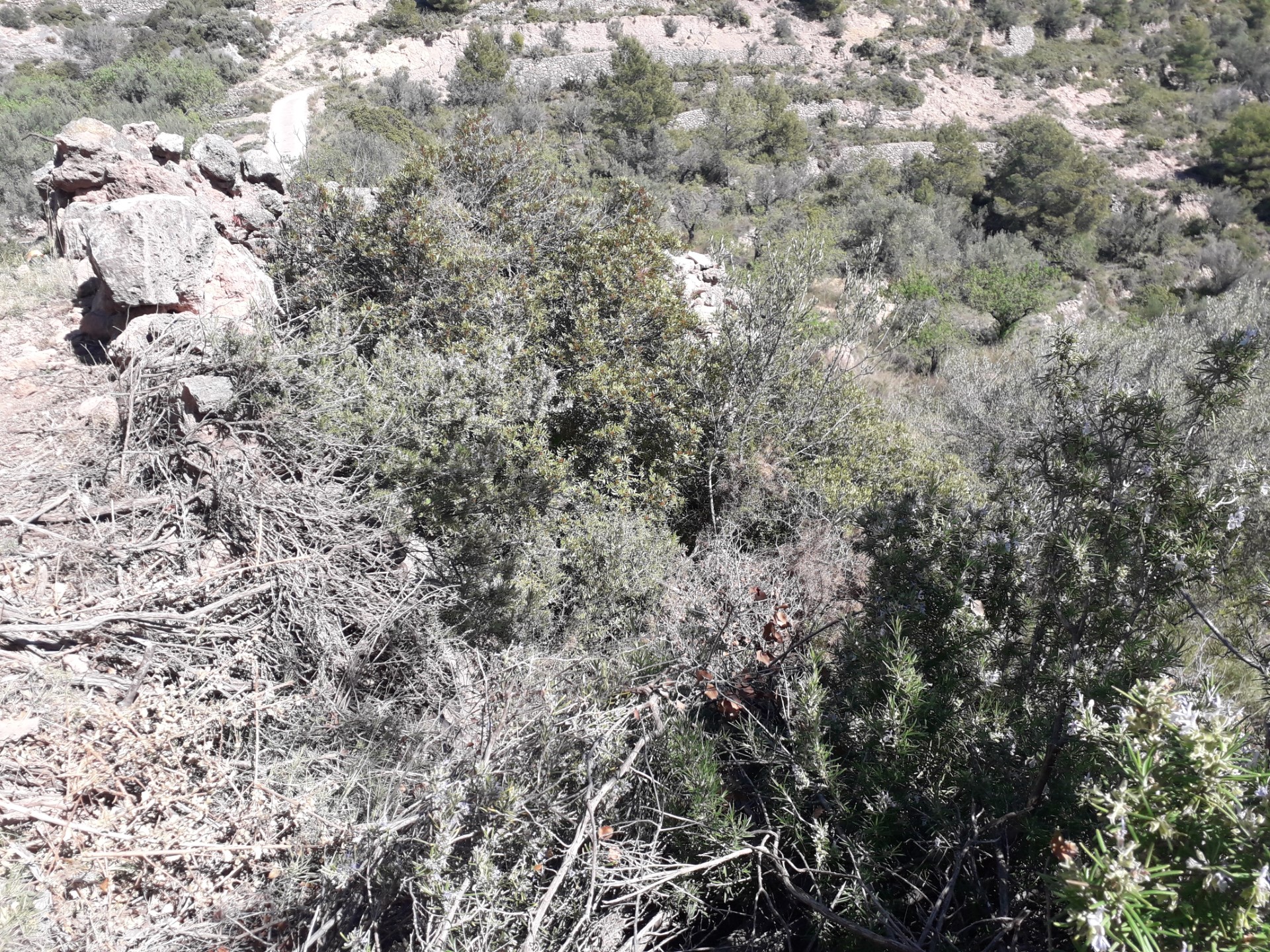
The itinerary revives these defensive structures, from the first settlers to Spanish Civil War trenches by relating them to the landscape and
its visibility as crucial defensive elements.
